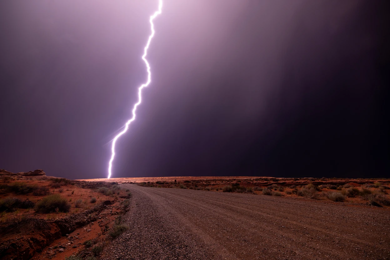
Thunder does more than shake windows and rattle buildings. When powerful sound waves from a thunderstorm strike the ground, part of their energy can become seismic vibrations — and scientists have now shown that these “thunderquakes” can be used to image hidden geological structures nearly 100 metres beneath the surface.
For seismologists, earthquakes are valuable sources of information.
As seismic waves travel through Earth, their speed and direction change depending on the rocks, fractures, fluids and other structures they encounter. By measuring those changes, researchers can create images of geological features that cannot be observed directly.
But there is an obvious problem: many places simply do not experience enough earthquakes to provide a steady supply of useful seismic signals.
Researchers led by scientists at Pennsylvania State University have now demonstrated an unexpected alternative.
Thunderstorms.
Using thousands of metres of existing underground telecommunications fibre, the team detected seismic waves generated when thunder struck the ground and then used those vibrations to build a three-dimensional picture of the shallow subsurface.
The work, published in Science Advances, provides the first successful demonstration of seismic imaging using thunderquakes as the energy source.
Thunder can become a seismic wave
A lightning bolt rapidly heats the surrounding air to extreme temperatures.
That sudden heating causes the air to expand explosively, producing the pressure wave we hear as thunder.
Most people think of that energy as travelling through the atmosphere.
But some of it also reaches the ground.
When the atmospheric pressure wave hits Earth's surface, part of its energy is transferred into the soil and rock below, generating seismic vibrations.
These thunder-generated ground motions are known as thunderquakes.
Scientists have detected them before, but using them for detailed geological imaging has been difficult because the transition from an atmospheric sound wave to a seismic wave is complicated.
The new research shows that with sufficiently dense measurements, the process can be disentangled and exploited.
Fibre-optic cables became thousands of seismic sensors
The key technology was distributed acoustic sensing, or DAS.
Instead of installing thousands of conventional seismometers, DAS allows researchers to transform a long fibre-optic cable into an enormous array of vibration sensors.
The Penn State researchers sent laser pulses through approximately 4 kilometres, or 2.5 miles, of existing telecommunications fibre buried beneath the university’s University Park campus.
Tiny imperfections inside an optical fibre naturally scatter a small fraction of the laser light back toward the instrument.
When the ground vibrates, the fibre stretches or compresses by extremely small amounts.
Those changes alter the phase of the returning light.
By measuring these alterations continuously, scientists can determine how the ground is moving at thousands of positions along the cable.
The technique essentially transforms infrastructure that may already be beneath streets, campuses and cities into a dense seismic observatory.
Researchers listened to storms for two and a half years
The scientists analysed 2.5 years of continuous fibre-optic measurements.
From the enormous dataset, they identified a catalogue of 458 high-quality thunderquakes, which they independently checked against lightning records.
That large dataset allowed the researchers to investigate precisely what happened when thunder energy reached the ground.
Lead author Nolan Roth, who conducted the work during his doctoral studies at Penn State and is now a postdoctoral researcher at The Ohio State University, explained that previous attempts to exploit thunder had struggled because the wavefield is extremely complicated.
Distributed acoustic sensing changed that.
Instead of receiving measurements at only a few isolated seismic stations, the researchers could observe ground movement every few metres along the buried fibre while recording hundreds of samples each second.
That unprecedented spatial and temporal detail allowed them to track the transition from atmospheric acoustic energy to useful seismic waves.
The crucial signal was an air-coupled Rayleigh wave
The researchers discovered that thunder generates coherent air-coupled Rayleigh waves.
Rayleigh waves are a type of seismic surface wave that travels along Earth's surface while its motion penetrates downward into the subsurface.
These waves are especially useful because different frequencies sample different depths.
Lower-frequency components generally probe deeper underground, while higher-frequency components are more sensitive to shallower structures.
By examining how the velocity of the thunder-generated Rayleigh waves changed with frequency, the scientists could determine how seismic-wave speed varied with depth.
This phenomenon is called seismic dispersion.
It provided the information needed to turn thunderstorms into a form of geological imaging.
Thunder effectively produced an underground X-ray
The researchers combined signals from many thunderquakes and used seismic interferometry, wave stacking and tomography to reconstruct the underground structure beneath the campus.
Their final image extended to approximately 100 metres, or about 300 feet, below the surface.
No holes had to be drilled specifically to generate the seismic energy.
No vibrating trucks were required.
No explosives had to be detonated.
The energy source was simply thunder from storms passing overhead.
The researchers then examined how rapidly shear waves travelled through different parts of the subsurface.
Higher seismic velocities often indicate stronger, more competent rock.
Lower velocities can indicate fractured, weathered or weaker material, greater porosity or the presence of fluids.
That revealed several unexpected underground anomalies.
Hidden weak zones appeared beneath the campus
Penn State's University Park campus sits on karst geology dominated by limestone and dolomite.
Karst landscapes develop when groundwater gradually dissolves soluble rock.
Over long periods, this process can create fractures, cavities, caves, underground drainage systems and sinkholes.
That makes accurate knowledge of shallow underground structure particularly valuable.
The thunderquake images revealed four prominent low-velocity or weak zones that had not previously been mapped in detail.
These zones could reflect strongly fractured or weathered rock, voids or differences in underground water and air.
Importantly, the scientists did not rely on the thunderquake image alone.
They compared their results with independent borehole logs and previous engineering surveys.
Some of the newly detected weak zones also coincided with areas of surface deformation detected by satellite radar using Interferometric Synthetic Aperture Radar, or InSAR.
Those independent lines of evidence strengthened the conclusion that the thunder-generated seismic image was revealing genuine geological structures.
Why seismic-wave speed reveals what lies underground
Seismic waves do not travel at one universal speed.
Their velocity depends on the material through which they move.
Dense, consolidated rock typically carries seismic waves differently from loose soil.
Fractured rock can slow them.
Water filling pore spaces can alter their behaviour.
Cavities, faults and weathered zones can produce distinctive velocity patterns.
Seismic tomography uses these differences much like medical computed tomography uses variations in X-ray transmission to image the inside of the human body.
Instead of diagnosing bones and organs, geophysicists reconstruct rock layers, faults, groundwater structures and other features underground.
Thunderquakes provide an unusual new source of the waves needed to perform that reconstruction.
Traditional seismic surveys can be difficult in cities
Conventional shallow seismic imaging often requires researchers to create their own vibrations.
Heavy vehicles fitted with vibration systems can send controlled seismic waves into the ground.
Other surveys use impacts, specialized seismic sources or carefully controlled explosions.
These methods can produce excellent data, but deploying them is not always practical.
Busy cities may have traffic, buildings, underground utilities and restrictions that make active seismic surveys difficult.
Protected environments may limit access.
Remote regions can make heavy equipment expensive to transport.
Some communities may also object to disruptive seismic-source operations.
Thunderstorms offer a very different option.
They naturally produce powerful acoustic waves across broad areas.
And many populated regions already contain extensive underground fibre-optic networks capable of being converted into seismic sensors using DAS.
Existing telecommunications networks could become geological observatories
The potential combination is particularly intriguing.
Cities around the world contain enormous networks of fibre-optic cables.
Most exist to carry Internet and telecommunications traffic.
But portions of those networks can also function as sensitive ground-motion detectors.
If researchers can successfully combine existing fibre networks with thunderquake analysis, the infrastructure beneath a city could potentially monitor geological conditions whenever storms occur.
That could reduce the need to install large temporary arrays of conventional seismic sensors.
It might also allow scientists to repeat measurements through time.
Repeated imaging could reveal whether underground conditions are changing rather than providing only a single snapshot.
Sinkholes could be one important application
Karst regions are particularly relevant because hidden cavities and weakened rock can create sinkhole hazards.
A sinkhole may form when underground rock dissolves or when the roof of a subsurface cavity loses enough strength to collapse.
Some sinkholes develop gradually.
Others appear suddenly.
Mapping weak zones beneath roads, buildings and other infrastructure can therefore be extremely valuable.
The new thunderquake technique is not yet a general-purpose sinkhole prediction system.
But the Penn State demonstration shows that it can detect variations in shallow subsurface strength in precisely the type of landscape where sinkhole hazards occur.
Groundwater could also leave a seismic signature
Water strongly influences seismic properties.
Changes in groundwater level can alter pore pressure, density and the mechanical behaviour of rocks and sediments.
Repeated fibre-optic measurements could therefore potentially help researchers monitor groundwater systems.
That could have applications in water-resource management as well as environmental investigations.
Researchers say seismic imaging can contribute to studying groundwater, mining resources, landslides, volcanoes and magma systems, in addition to evaluating subsurface geohazards.
Thunderstorms could be especially useful where earthquakes are rare
One of the method’s strongest advantages could appear in regions with relatively little natural seismic activity.
Traditional passive seismology relies heavily on earthquakes.
In tectonically active regions, earthquakes occur frequently enough that scientists can use their seismic energy to investigate underground structures.
But large portions of the central and eastern United States, along with many other parts of the world, experience relatively few useful earthquakes.
Thunderstorms can occur much more frequently.
That means meteorological events could provide an entirely different source of seismic energy.
Corresponding author Tieyuan Zhu of Penn State said the study demonstrates that thunderquakes could serve as a new source for near-surface seismic imaging, particularly where access to conventional seismic sources is limited.
Thunder was once mostly noise
For seismologists, environmental vibrations are often treated as noise.
Traffic shakes the ground.
Ocean waves generate persistent seismic signals.
Wind interacts with buildings and vegetation.
Aircraft, industry and storms all produce vibrations.
Traditionally, researchers often try to remove these signals so they can isolate earthquakes.
But modern environmental seismology is increasingly turning that logic around.
Instead of asking how environmental noise can be eliminated, scientists ask whether the noise itself contains useful information.
Thunderquakes are a striking example.
A violent atmospheric disturbance once regarded largely as interference can become the energy source for a geological survey.
The method still has limitations
Thunderquakes will not replace every conventional seismic technique.
Researchers cannot control exactly when or where thunderstorms occur.
Different lightning events produce different acoustic signals.
Weather conditions affect how sound travels through the atmosphere.
Fibre-optic cables are not distributed evenly everywhere.
And complex mathematical processing is needed to separate useful ground waves from the many other vibrations captured by the cable.
The Pennsylvania experiment was also conducted in one particular geological setting.
Additional studies will be needed to determine how well the technique performs in different soils, rocks, climates and urban environments.
Nevertheless, the study provides a strong proof of concept.
The team did not merely detect thunder-induced ground shaking.
They extracted enough information from it to produce a geological image that agreed with independent observations.
Other atmospheric explosions could work too
Thunder is unlikely to be the only atmospheric phenomenon capable of generating useful seismic waves.
Other powerful pressure waves can strike Earth's surface and transfer energy into the ground.
Possible examples include sonic booms, volcanic explosions and meteor airbursts.
If researchers can understand how different atmospheric waves couple into the solid Earth, these events may become additional sources for seismic investigation.
That opens a broader field of study at the boundary between atmospheric science and geophysics.
Rather than treating the atmosphere and solid Earth as separate systems, researchers can examine how energy continually passes between them.
The idea might even work on other worlds
The implications may extend beyond Earth.
Seismology is one of the most powerful ways to investigate planetary interiors.
NASA's InSight mission, for example, used seismic signals on Mars to reveal information about the planet's crust, mantle and core.
But other planets and moons might not produce Earth-like tectonic earthquakes frequently enough for conventional seismic imaging.
Atmospheric disturbances could offer another source of energy.
One intriguing possibility is Titan, Saturn's largest moon.
Titan has a dense atmosphere, and models allow for atmospheric phenomena that could produce strong pressure disturbances. It is also the destination of NASA's Dragonfly mission.
The researchers suggest that understanding how atmospheric energy becomes seismic energy on Earth could eventually help scientists think about alternative ways of probing the subsurface of other planetary bodies.
That remains a future possibility rather than an established technique.
But the principle demonstrated on Earth is important: an atmospheric disturbance can carry enough information into the ground to reveal what lies beneath it.
A storm becomes a geological instrument
The discovery changes the way scientists can think about thunderstorms.
Thunder is not merely an acoustic consequence of lightning.
When those pressure waves reach the surface, some of their energy continues downward.
Rock begins to vibrate.
Surface waves move outward.
Their speeds change as they encounter different geological structures.
Buried fibre-optic cables record those movements.
And mathematical imaging techniques can reconstruct what lies underground.
In the Penn State experiment, that chain of events allowed researchers to see roughly 100 metres beneath an urban landscape and identify previously unmapped weak zones.
The storm supplied the energy.
Telecommunications infrastructure supplied the sensors.
Seismology supplied the image.
If the approach proves transferable to other environments, thunderstorms could become a surprisingly powerful geological tool — allowing researchers to use energy from the sky to investigate the hidden world beneath our feet.
Journal reference
Nolan Roth, Donggeon Kim, Rafał Czarny, Young Cheol Kim, Christelle Wauthier, and Tieyuan Zhu. “Imaging Earth’s subsurface with thunderstorm-generated seismic waves.” Science Advances, 12(34), eaeg8096 (2026), published August 21, 2026. The publication details and DOI were verified against the Science Advances record and Penn State’s official research release.